How Much Damage? |
The following geomorphological stability maps are excerpts of a 1983 stability and hazard study which details the complexities of the mining damage to the Ozark Plateau of Kansas. |
Underground Mines and Shafts 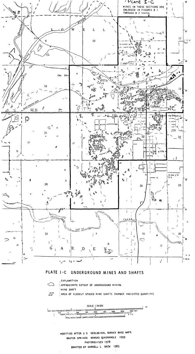 Image Source: Emily Wheeler, EPA District 7 via Mail on CD |
| To Top of Section |
Open Shafts, Pits and Subsidences 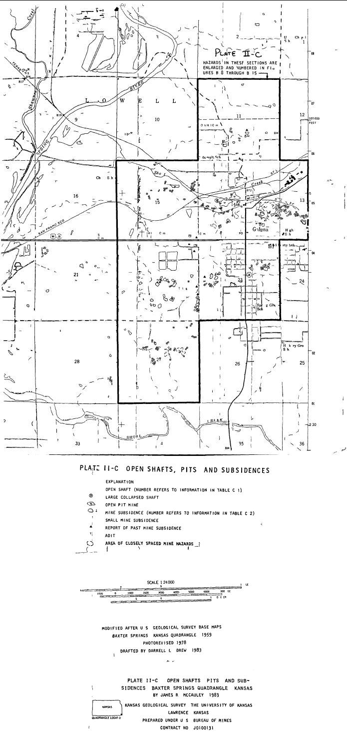 Image Source: Emily Wheeler, EPA District 7 via Mail on CD |
| To Top of Section |
Mine and Mill Waste 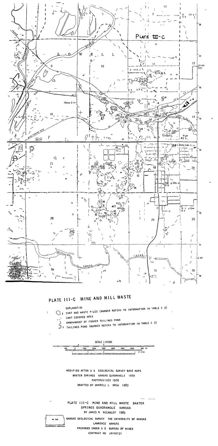 Image Source: Emily Wheeler, EPA District 7 via Mail on CD |
| To Top of Section |
| According to the report, one hundred years after the heyday of mining in the Galena area alone there were 6 open adits, 7 open pits, 209 surface collapses and 377 hazardous shafts, many within Galena's city limits. |
| Download Kansas Geological Survey Report (Large File: 7.45 MB) Note: If you open this file you will need to click on your browser's back arrow to return to How Much Damage section of An Investigation of the Ozark Plateau-Diverse Area, Challenging Problems. |
Back to Cherokee County Superfund Site--A Work in Progress |