Introduction |
||
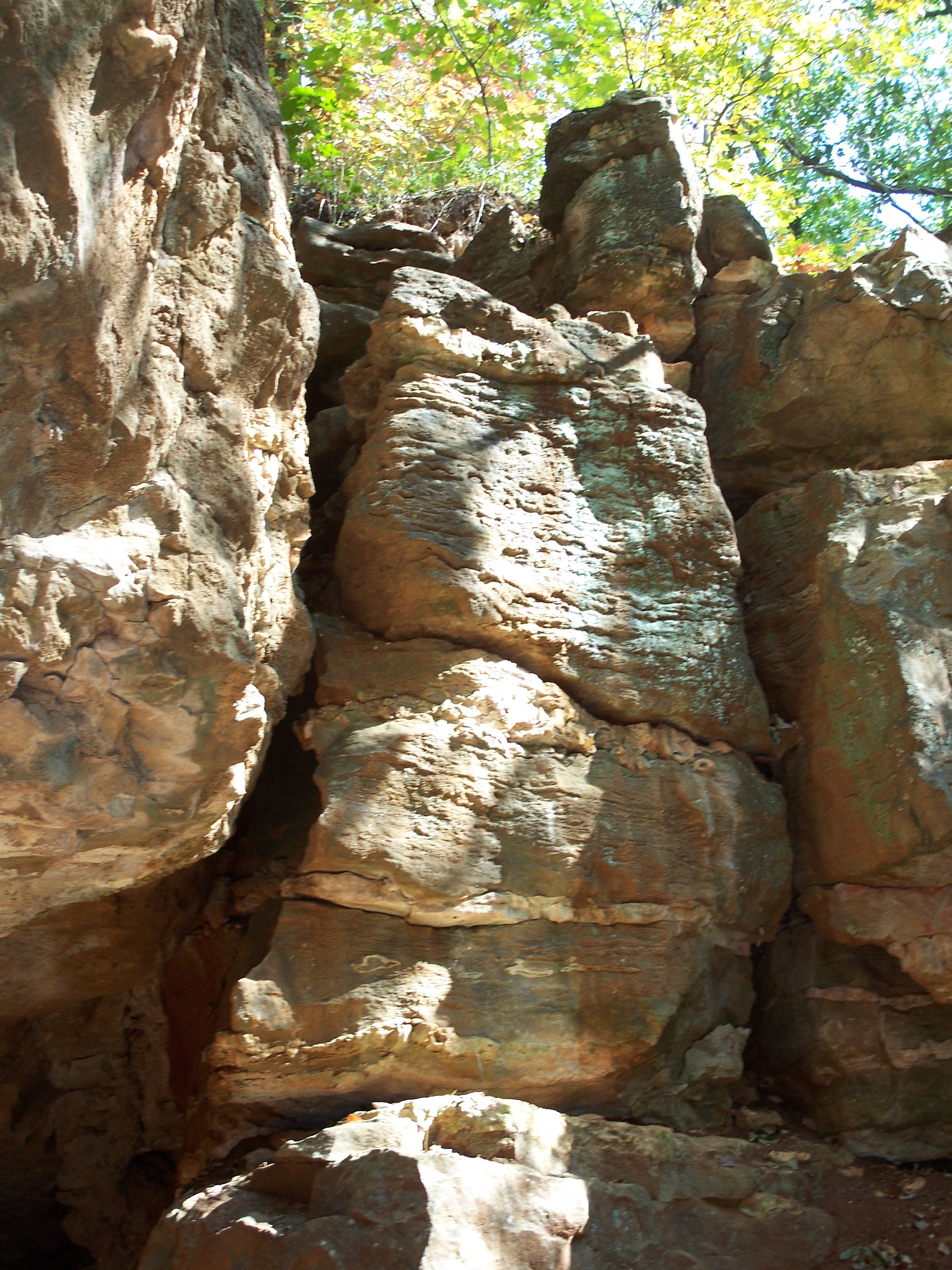 Late Mississippian Period Limestone, Schermerhorn Park, Galena, KS Image © G. Manders |
||
As students in ES 546, our class visited as many physiographic regions as possible and assisted our instructor in collecting small-format aerial photography of representative features in each region. I selected the Ozark Plateau as my area for additional study due to the similarities between the plateau and my home area in northeastern Oklahoma. The Ozark Plateau is an area of approximately 142.45 square kilometers (55 square miles) in the Kansas southeastern corner, has the Spring River as a border on the west, and includes the towns of Baxter Springs, Galena, and the unincorporated villages of Riverton and Lowell. Through participation in the Field Geomorphology class field trip, personal trips to the area, interviews with governmental and area residents, and review of published information I have assessed topographic, landform and other characteristics of the Ozark Plateau. |
||
| Home | Next-Methods |
|