Assessing the Ozark Plateau (continued) |
||||||
Terrestrial and Aquatic Biota Upstream of the confluence with Center Creek, Spring River contains at least 74 fish and 23 mussel species, including the federally and state-threatened Neosho madtom. Ten other fish and shellfish species are listed as either threatened or endangered in the state of KS, and 35 species are designated as in need of conservation. Low-lying lands surrounding the river provide habitat for nesting birds and denning mink, allow fauna to travel from one location to another. The river is classified by the Kansas Department of Wildlife and Parks as critical habitat for numerous threatened and endangered species. Spring River, especially downstream, has elevated metals levels including impairment by lead, copper and zinc which is probably due to drainage from mines and mine tailings piles along the creeks that flow into the river. The concentrations of metals have impacted the fish and mussel populations. Empire Lake's benthic invertebrate community has suffered a reduction in numbers, as well, and the proposed cause is an elevated concentration of cadmium, lead and zinc in the sediments. Ducks, geese, herons, egrets, pelicans, swans and shorebirds use the Spring River and Empire Lake wetlands, a concern due to the contamination identified in these areas. Also, recent studies advise that some bird species in the Tri-State District may have been injured as a result of metals exposure. To Top of Page |
||||||
Land Use
|
||||||
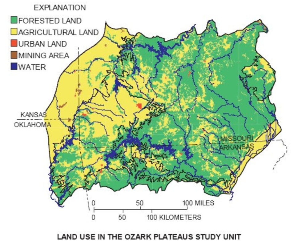
Much of the Ozark Plateau is unsuitable for cropland due to thin, rocky soil and frequent steep slopes. It is heavily forested and is dissected by a number of streams. Some uplands are cleared for livestock grazing.
|
||||||
|
||||||
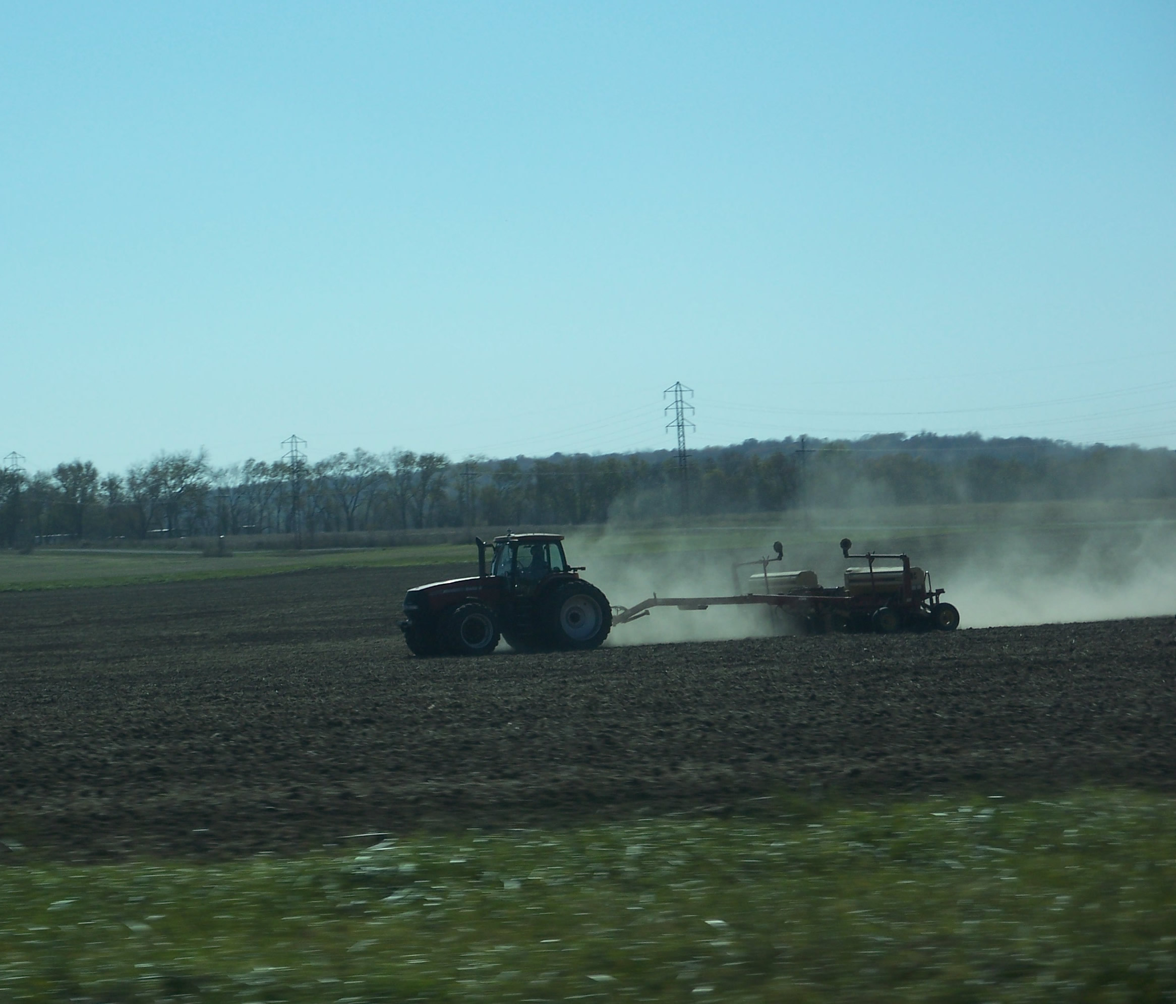
Most of the area's prairie has been converted to cropland. Various light industries are in and around the area. |
||||||
|
||||||
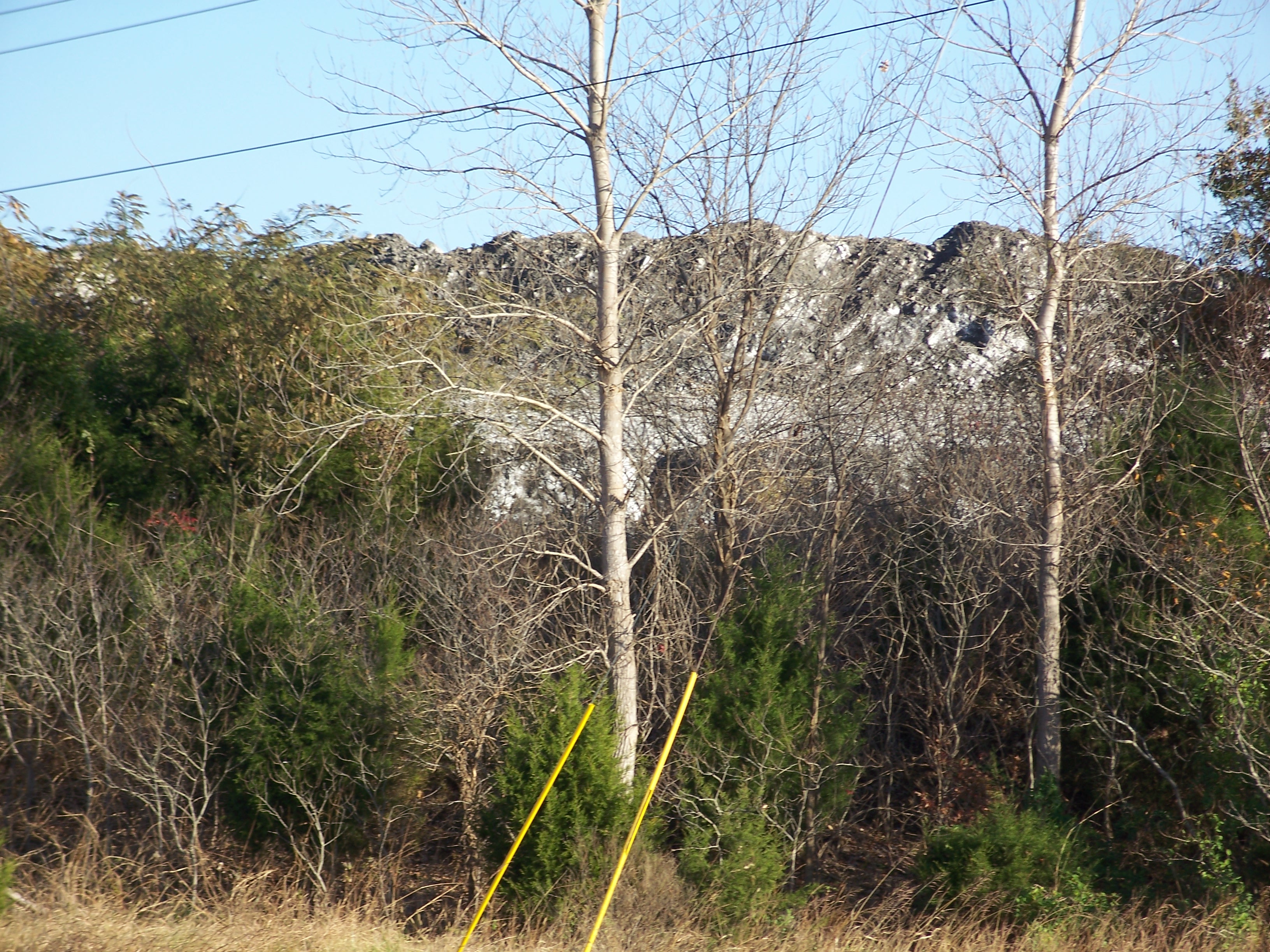
Large areas of land are prominent due to the impact of past mining. To Top of Page |
||||||
| Home | Next-Assessing the Ozark Plateau (continued) |
|||||